Drone Services


Residential Real estate Photography
Aerial photos & video help sell real estate faster, create great marketing material for advertising, product promotions & campaigns and generate buzz in social media
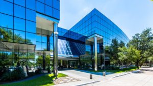
Commercial Real estate Photography
Present to clients, investors, or potential tenants with compelling aerial imagery. Highlight property locations, popular proximate retailers, and nearby highways.
Construction site monitoring
Track progress with monthly updates, collect valuable data, and showcase your completed work


Events
Concerts / Weddings / Sport tournaments / Product launches / Award ceremonies / Parties / Charity functions / Company meetings / Press conferences / VIP events Obtaining panoramic 360-degree views of your event can be a great way to capture breathtaking aerial video & photographic material of those special moments. You get to capture and record the event from a totally unique perspective.
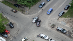
Investigation
Evidence Collection / Surveillance Gathering evidence and proof can also be critical in supporting or disputing insurance claims. There is no better way to recording aerial video and capturing photo’s that back up your claims than from a UAV. We all know privacy is an important aspect of our society. However, there are times when conducting surveillance from a safe discreet view to collect critical evidence without being detected is necessary.
Commercial inspections
Building, Roof, Gutter, Line and Tower Inspection, Insurance Claims and Buildings etc.. Leveraging skilled drone aerial operators to view and record inspections can dramatically increase safety, lower costs and speed up inspections. We work with Roofing Building Inspectors and infrastructure managers to customize aerial photography solutions that provide the required information to make decisions.


Stock pile measurement
For bulk inventory, construction, mining. lumbar, aggregate supply and dry bulk chemicals businesses across multiple industries, accurate stockpile measurement and reporting is an important input into product costing, production, inventory control and overall business accounting and profitability.
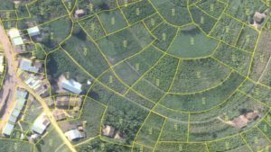
Area survey and Maping services
Disasters / Emergencies / Insurance / Crops / Property Views / Photogrammetry / Mapping | Surveying | Engineering Getting a bird’s eye view through Aerial Photography can be crucial to making informed decisions quickly. Whether you are assessing damage, deploying resources, evaluating the environment or illustrating where things are, an area survey from a drone can quickly provide this critical information.
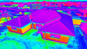
Thermal Inspection
Our expertise is in aerial infrared imaging and commercial building thermal inspection services. Using our proven aerial inspection techniques, along with the top of the line thermography (FLIR) equipment, we can rapidly identify hidden damage to your residential or commercial. The Drone Co Thermal inspection services provide the interested party with an independent analysis of the building’s structural integrity.
